
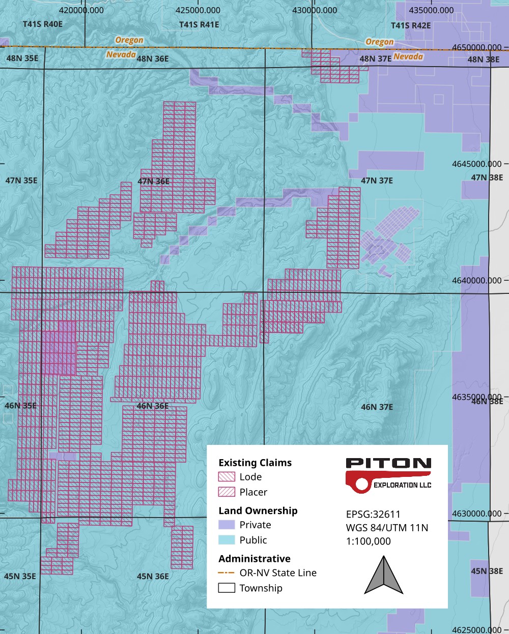
Piton Exploration builds accurate lands maps tailored to client needs.
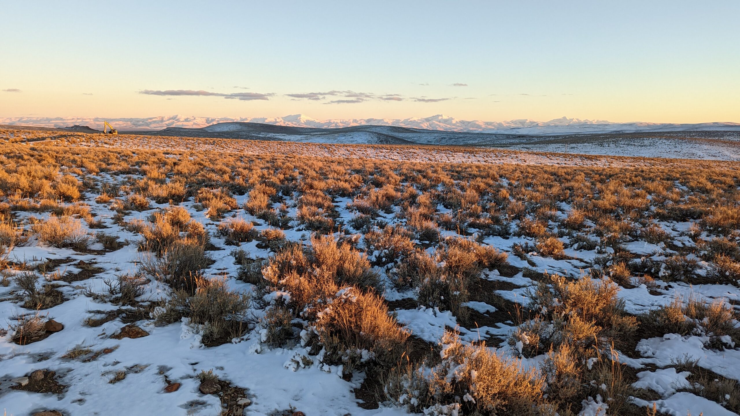
Field exploration requires detailed knowledge about the project area and surrounding region. We research land ownership, claims, geography, geology and local infrastructure in order to develop the best maps using GIS software.
Because our team has geologic, cartographic and technical expertise all in-house, your maps will be more useful than if you commissioned a map from a source that isn’t well-versed in the relevant disciplines. If you want to incorporate field data into the final product such as sample grids, drill holes or structural measurements, we can also help.
Share the best maps with your team to deploy personnel and manage your project with confidence.